Description
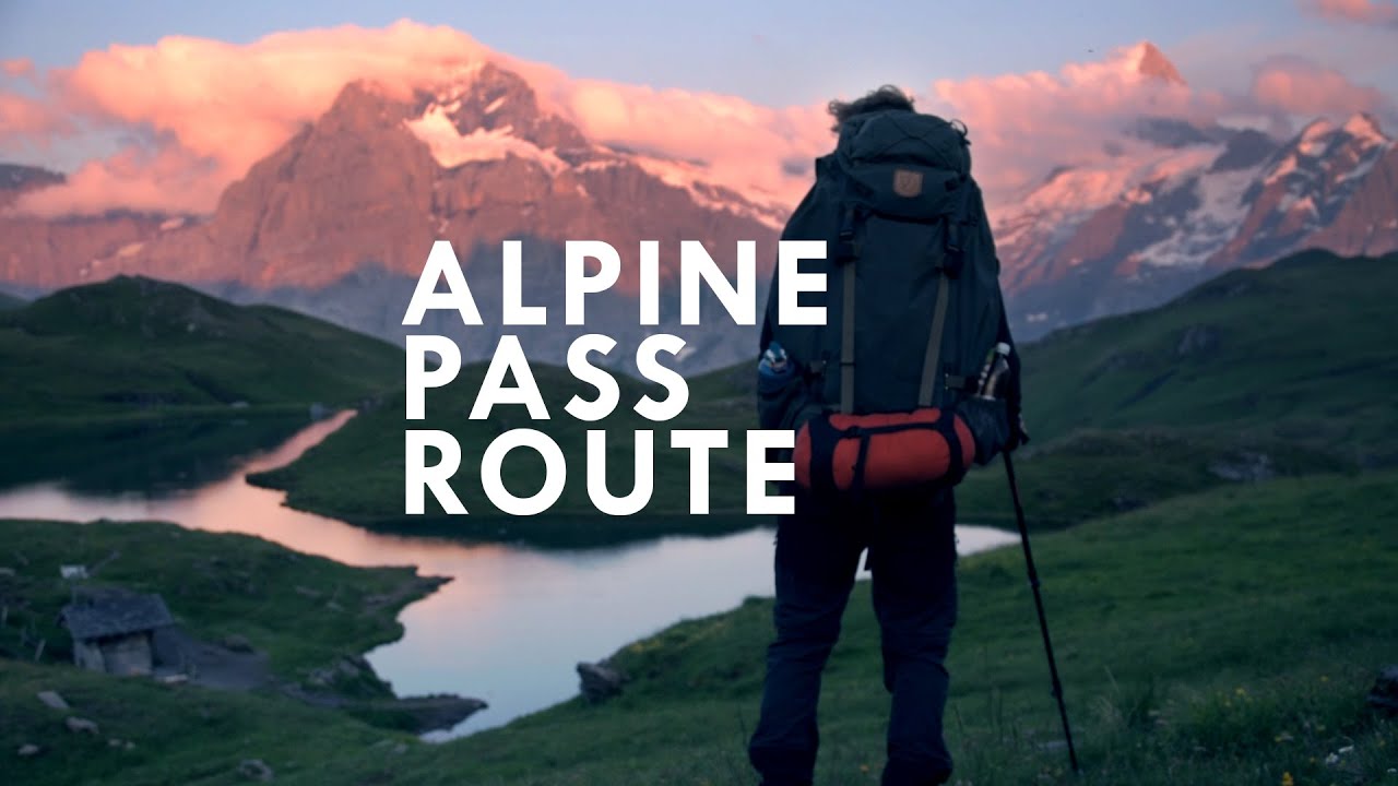
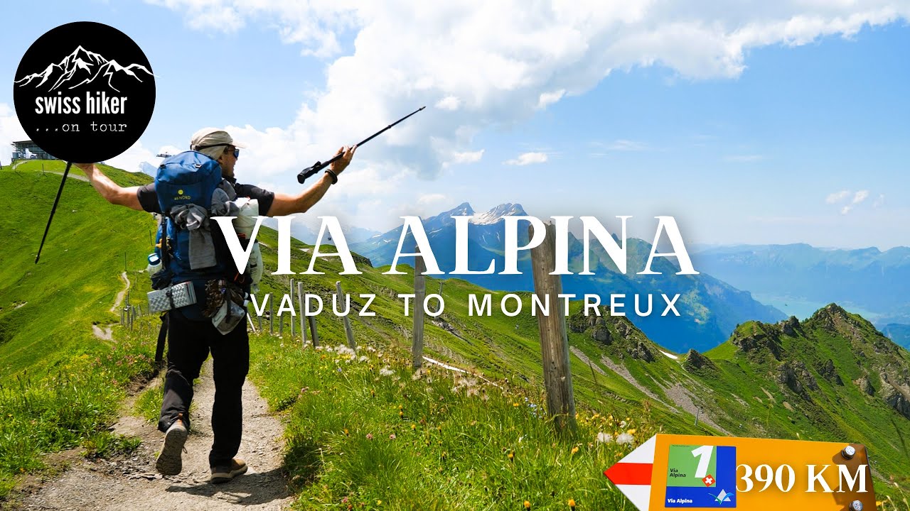
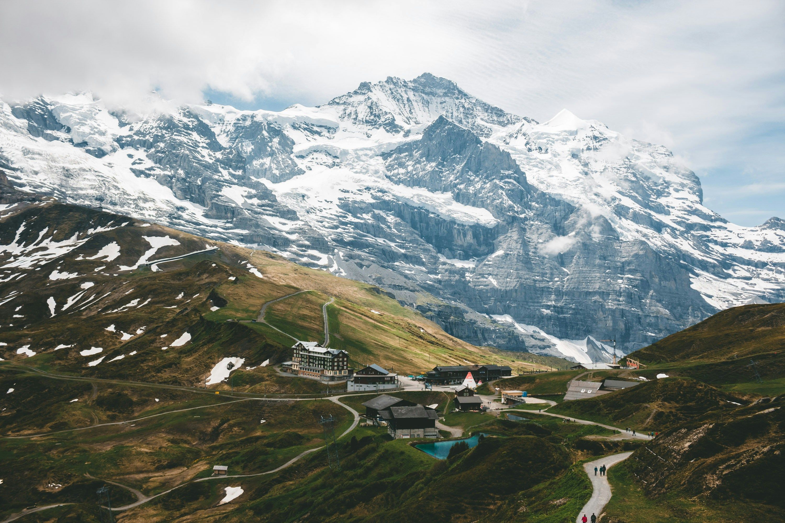
The Alpine Pass Route is a classic 390 km east-to-west trek across Switzerland, famous for crossing 16 high mountain passes over about 19 stages. It effectively traverses the Swiss Alps from the Liechtenstein border to Lake Geneva, showcasing Switzerland’s quintessential alpine scenery. The route typically begins in Sargans in the east and ends in Montreux by Lake Geneva, after roughly three weeks of walking. Each day usually involves ascending to a pass (col) around 2,000–3,000 m and descending into the next valley. Notable passes include Hohtürli (2,778 m) – the highest on the route, near the Bluemlisalp Glacier, and Kandersteg’s Gemmi Pass.
Along the way, trekkers are treated to postcard-worthy vistas: famous peaks like the Eiger, Mönch, and Jungfrau above Grindelwald and Lauterbrunnen, turquoise glacier-fed lakes like Oeschinensee, lush meadows dotted with cows and chalets, and charming alpine villages (Adelboden, Lenk, Gstaad). Overnights are mostly in villages or alpine huts; Switzerland’s extensive system of cable cars and mountain transport also provides flexibility. The trail is well-marked (often as “Via Alpina 1”) and travel between valleys is facilitated by Swiss efficiency. Weather can vary – summer provides wildflowers and mostly stable weather, though thunderstorms or even snow flurries at passes can occur. The Alpine Pass Route is challenging (total ascent ~20,000+ m), but rewards with an ever-changing panorama of the Swiss Alps’ grandeur and culture, from Appenzell-style dairy farms to Bernese Oberland giants and the vineyards by Montreux at trail’s end.
Route
Loading map...
Elevation
Loading elevation chart...
Getting There & Back
Well-marked with yellow signposts and painted markers (Via Alpina Stage 1–20). The route can be shortened with cable cars (e.g., lift down from Hohtürli) or trains (e.g., avoid some road walks). Public transit easily links start (Sargans reachable by train) and finish (Montreux train). Baggage transport services exist in Switzerland if desired. Weather is a factor – some passes (Hohtürli, Gemmi) should be crossed in stable conditions. The Swiss topo maps and phone apps are excellent aids. Language: mix of German and French regions.
Accommodation
Excellent network – hotels/guesthouses in nearly every valley town (e.g., Elm, Engelberg, Lauterbrunnen, Adelboden); Alpine huts or inns at some passes (e.g., Berghotel Engstligenalp, Blüemlisalp Hut near Hohtürli). Some budget options like dormitories in huts or Jugendherberge (hostels) in larger towns. Camping is possible in campgrounds in valleys, though wild camping is not allowed below treeline. Reservations in high season recommended.