.jpg-faa8851b9c59f1a42055c2d4b3b2c85f.jpg&w=3840&q=95)
Description
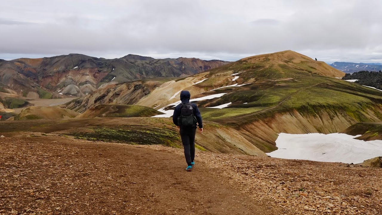
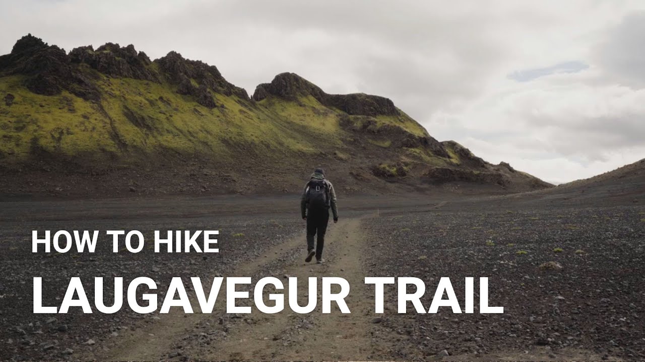
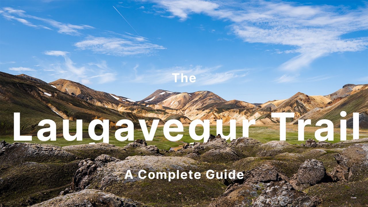
Iceland’s Laugavegur Trail is a renowned 4-day trek (55 km) through otherworldly volcanic landscapes in the southern highlands. The route runs from Landmannalaugar, a geothermal wonderland of multicolored rhyolite hills and hot springs, to Thórsmörk, a green valley sheltered by glaciers.
Along the way, hikers witness a kaleidoscope of scenery: steaming fumaroles and obsidian lava fields at Landmannalaugar, the ochre-colored peaks of the Jökultungur hills, black sand deserts like Mælifellssandur, bright green mossy gullies, and expansive views of icecaps such as Eyjafjallajökull and Mýrdalsjökull. The trail undulates between 500 m and 1,100 m elevation, with an initial ascent to a high plateau near Hrafntinnusker then a gradual descent to Thórsmörk (200 m).
Conditions can be challenging – river crossings (unbridged streams) and rapidly changing weather are common. In summer, the route is well-marked and served by mountain huts at each stage. Many hikers extend the journey by continuing one more day over the Fimmvörðuháls pass to Skógar, adding waterfalls (like Skógafoss) and two volcanic craters from a 2010 eruption. Laugavegur’s combination of geothermal features, mountain panoramas, and wild, epic terrain make it one of Europe’s top trekking experiences despite its relatively short length.
Route
Loading the exact GPS route…
Elevation
Loading elevation chart...
Getting There & Back
Reach Landmannalaugar by Highland bus or 4x4 (3–4 hours from Reykjavík). Trek south for 4 days to Thórsmörk (luggage transport not available, hikers carry gear). From Thórsmörk, take a bus back to Reykjavík or continue 1–2 days over Fimmvörðuháls to Skógar (from where buses go to Reykjavík). The trail is point-to-point, so use of buses or tour shuttles is common for start/end transfers.
Accommodation
Mountain huts at each stage (Landmannalaugar, Hrafntinnusker, Álftavatn, Emstrur, Thórsmörk) – reservation required; adjacent campgrounds for tent camping. No towns on route.