Hiking Switzerland’s Via Alpina: What to Expect from the Trail
I hiked Switzerland’s Via Alpina from Linthal to Gsteig, camping most nights. Here’s what I found: demanding climbs, spectacular passes, busy tourist spots, and plenty of options for transport and resupply.
I hiked part of Switzerland’s Via Alpina 1, previously known as the Alpine Pass Route, in early September 2026.
Like many other walkers, I didn’t have time to do the whole trek, so I started in Linthal. My journey concluded in Gsteig, following an alternative route described in the Cicerone guidebook. As I often do, I camped most nights.
What the Via Alpina is actually like
In many ways, the Via Alpina is similar to other classic Alpine treks. It offers beautiful views and dramatic changes in scenery between the valleys and the high passes. It passes through towns and villages every day, providing plenty of opportunities to take interesting rest days, resupply, or use public transport.
Just like on other classic Alpine walks, you’ll have to negotiate relentless ascents and descents, while flat traverses are relatively rare.
What sets this trek apart is how closely some of its most attractive sections overlap with popular tourist destinations. You’ll often share the trail and its most beautiful spots with day hikers and visitors arriving by bus, train or cable car. There’s no problem with that, but it does affect the atmosphere. Compared with the Tour du Mont Blanc or Peaks of the Balkans, I felt less of a sense of community among people doing the same trek.
There’s also more road walking than I would have liked. While the towns and villages along the route are appealing, I found these stretches less engaging and used public transport to shorten some of them. Luckily, the regular transport links make this fairly easy.
Difficulty and terrain
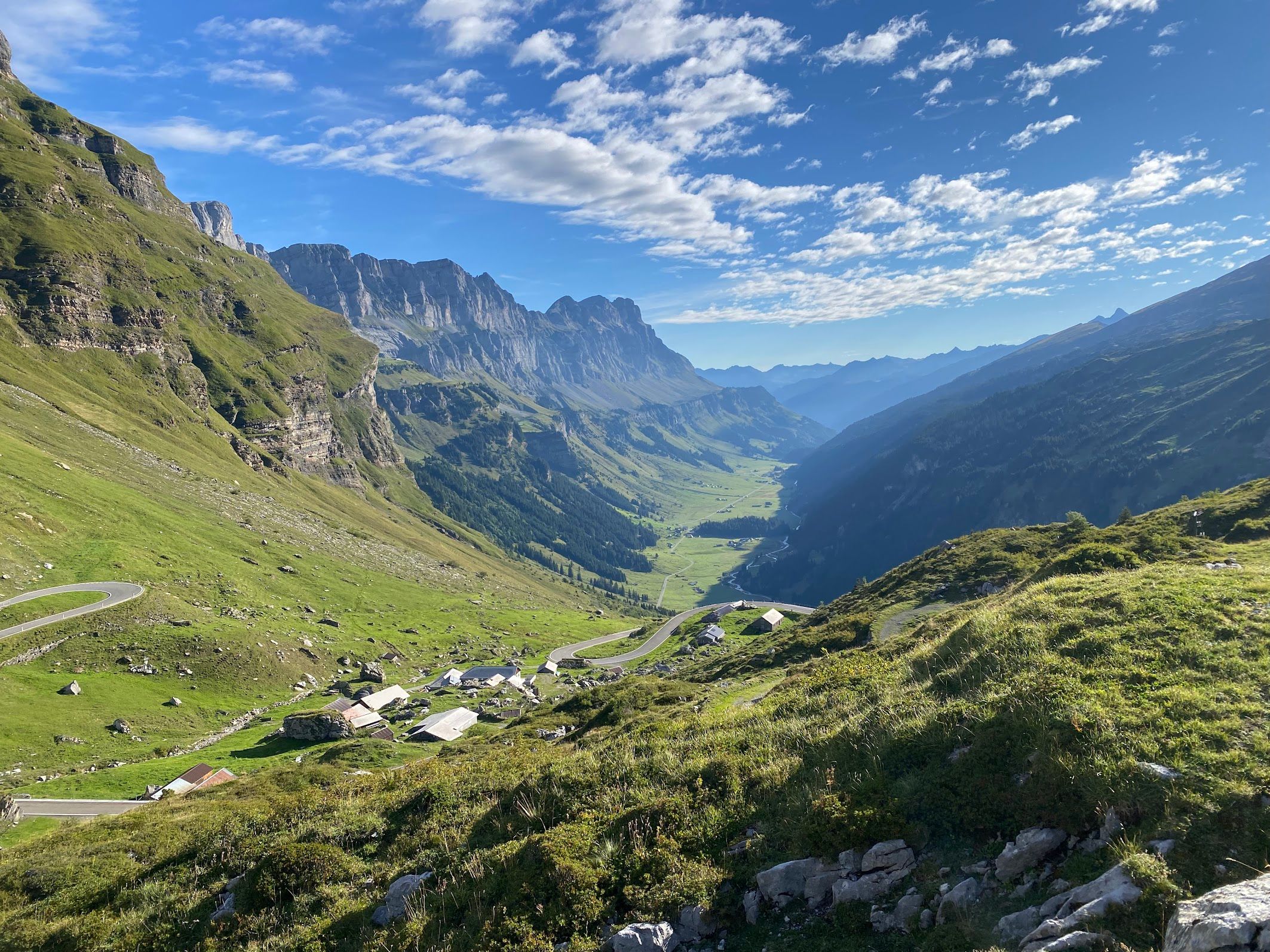
Most of the challenge is physical rather than technical. As often happens in the Alps, you’ll spend much of the day going up and then down, or vice versa, inevitably wondering which you prefer.
The physical challenge isn’t limited to the highest passes. Some steep climbs begin right on the valley floor, including those out of Linthal and Lauterbrunnen. The middle part of the trek, between Altdorf and Adelboden, is particularly demanding, with a climb to a pass on every stage.
Three of the most spectacular passes follow one after another between Lauterbrunnen and Adelboden: Sefinenfurgge, Hohtürli and Bunderchrinde. They are all challenging, mainly because of the steep ascents and descents involved. Still, these are high Alpine passes, with loose scree and some exposure. Care and surefootedness are essential, particularly on the descents.
Crowds, tourism and transport
The Via Alpina passes through some of Switzerland’s busiest tourist areas, particularly on the stretch between Meiringen and Kandersteg. Grindelwald and Lauterbrunnen often felt more like fashion hubs than hiking hubs to me, and the prices reflected that. These places weren’t my vibe, so I moved through them as quickly as possible.
The crowds aren’t confined to the valleys. Roads, cable cars and trains make some of the higher sections easily accessible, too. You can climb for hours and suddenly find yourself among tour groups and souvenir shops.
You’re unlikely to have Kleine Scheidegg, Grosse Scheidegg or the Trübsee area to yourself. If quieter surroundings matter to you, arriving early or late in the day can make a difference.
Away from these tourist hotspots, the trail feels quieter and more remote. The same transport network that brings visitors into the mountains also makes it easy to adapt your itinerary or skip a section you’re less interested in.
Accommodation, food and water
As usual, I chose to camp, using a combination of wild camping and established campsites. Compared with other treks I’ve done, camping didn’t seem to be a particularly common choice.
There’s a lot of debate about the legality of wild camping in Switzerland. My research has shown that in the cantons of Glarus, Uri, Obwalden, and Bern, which my section of the trek passed through, single overnight bivouacs above the treeline for individuals are permitted, except in some reserves and protection areas that are easy to identify.
I followed the usual principles: pitch close to sunset, leave early in the morning, and leave no trace. Looking for suitable places above the treeline, often around 2,000 metres or higher, significantly limited my options. I won’t mention specific spots here, but I’m happy to answer questions by email.
There are campsites in some of the towns, and they’re easy to find on Google Maps. The ones I used were small but convenient and reasonably priced by Swiss standards.
Being conscious of Swiss prices, I chose to cook my own food. As always, this comes with a compromise: you miss out on some of the appealing food in restaurants and huts. If you choose a similar strategy, though, you can resupply almost every day, often with a good selection of groceries. Plan ahead for Sundays, when many grocery shops are closed.
If you prefer hot meals, the frequent huts and villages give you plenty of opportunities along the way. The campsites I encountered offered little beyond basic snacks, so arriving without food could mean an extra walk into town.
I found plenty of water along the trail, even after a very dry summer, and hardly used my filter. Many of the small farms I passed had water available.
Favourite sections
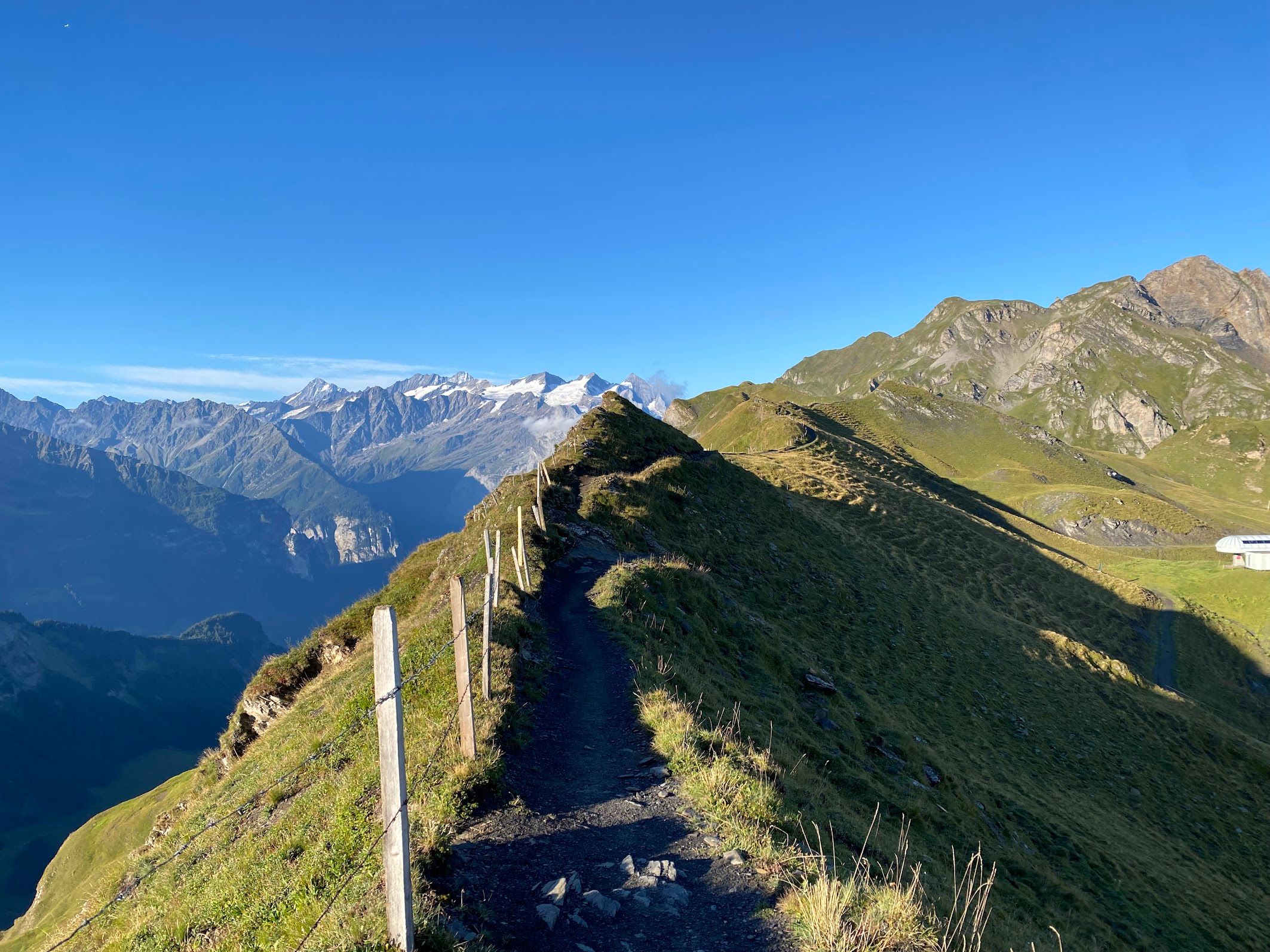
The Planplatten ridge
The Planplatten ridge was the highlight of my Via Alpina walk. It offers 360-degree views of the Bernese Alps, lakes and the glaciated Wetterhorn massif. I was lucky enough to walk this section early in the morning in beautiful sunshine, and I just couldn’t stop smiling.
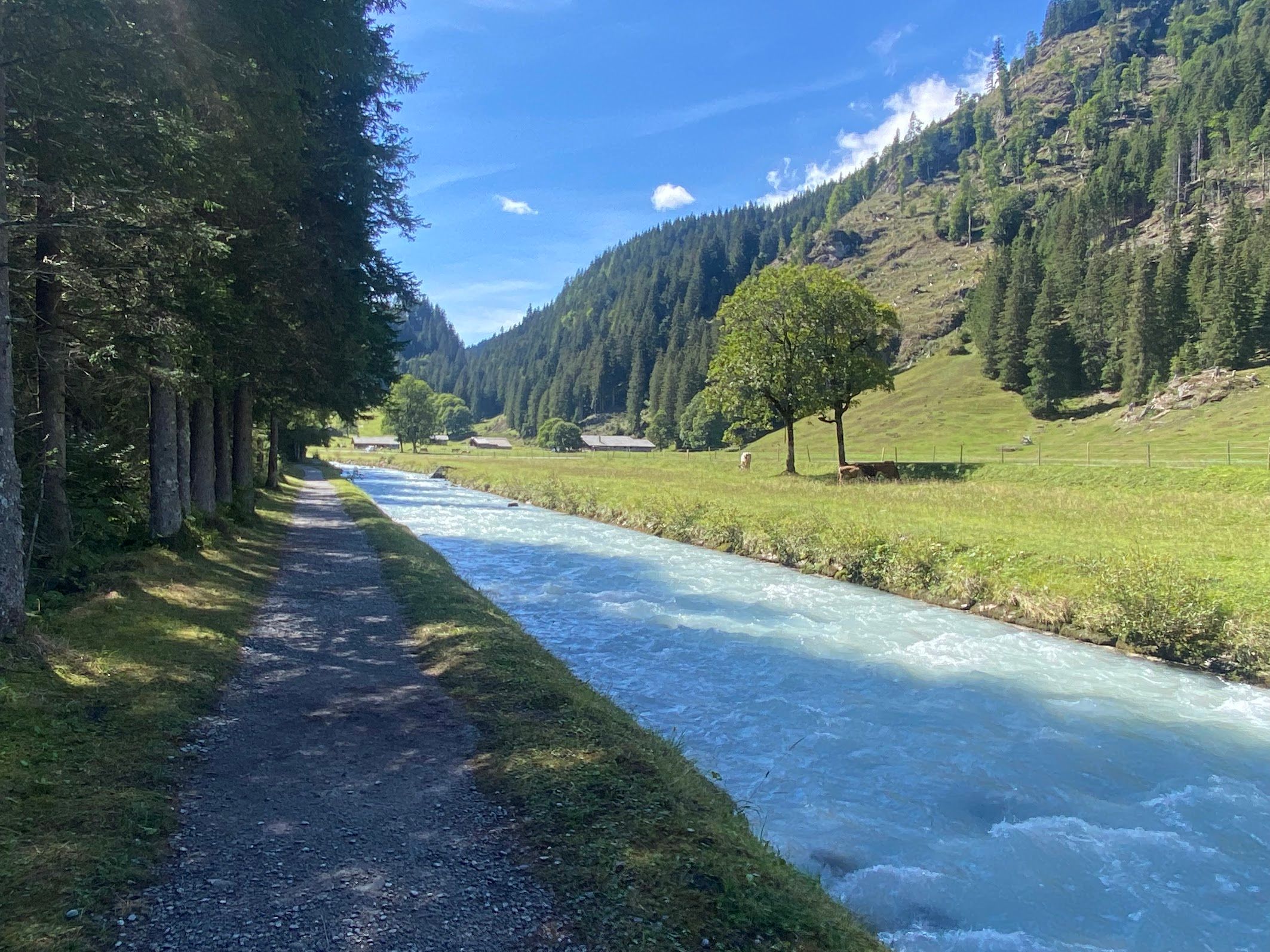
The Rosenlaui valley
The Rosenlaui valley, on the next section of the route, was extremely peaceful and picturesque. After a steep climb through the forest out of Meiringen, you emerge into an open valley, with the Rychenbach winding through lovely fields.
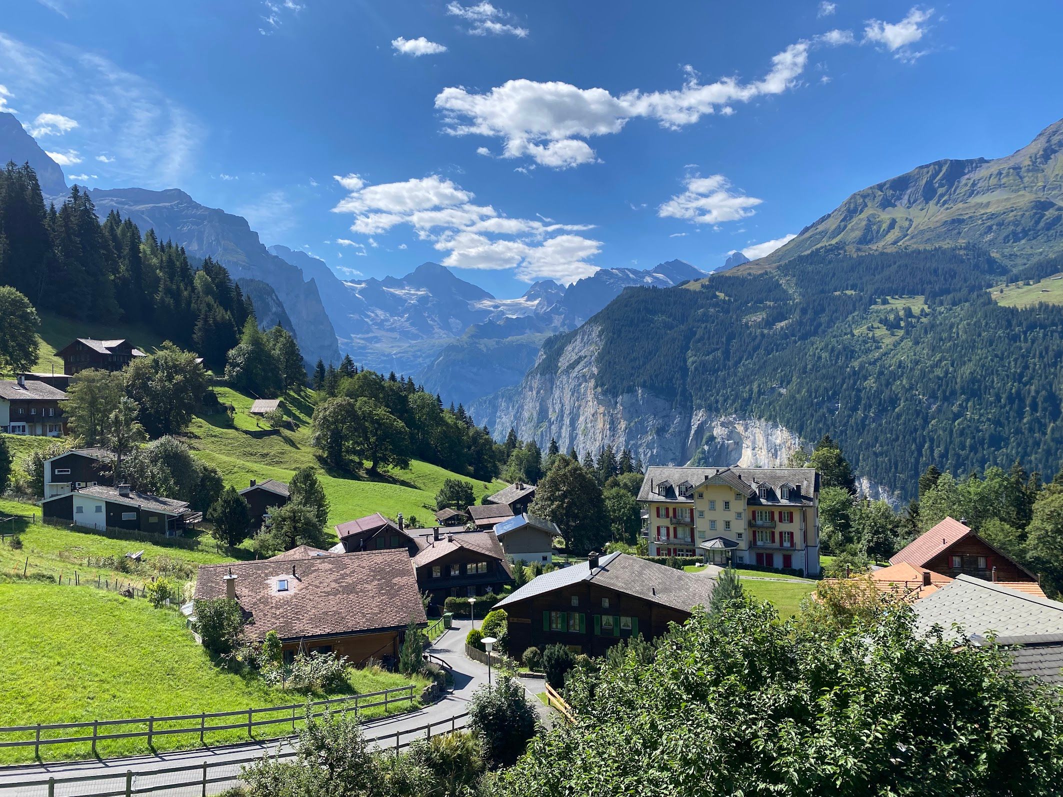
The descent through Wengen towards Lauterbrunnen
The descent through Wengen towards Lauterbrunnen felt like one of the defining sections of the hike: beautiful views and equally beautiful, very expensive-looking villages. As you follow the asphalt road downhill, each turn reveals more houses and hotels, with a steep wall of cliffs across the Lauterbrunnen valley. Looking at it, you wonder how you’re meant to tackle the climb on the other side.
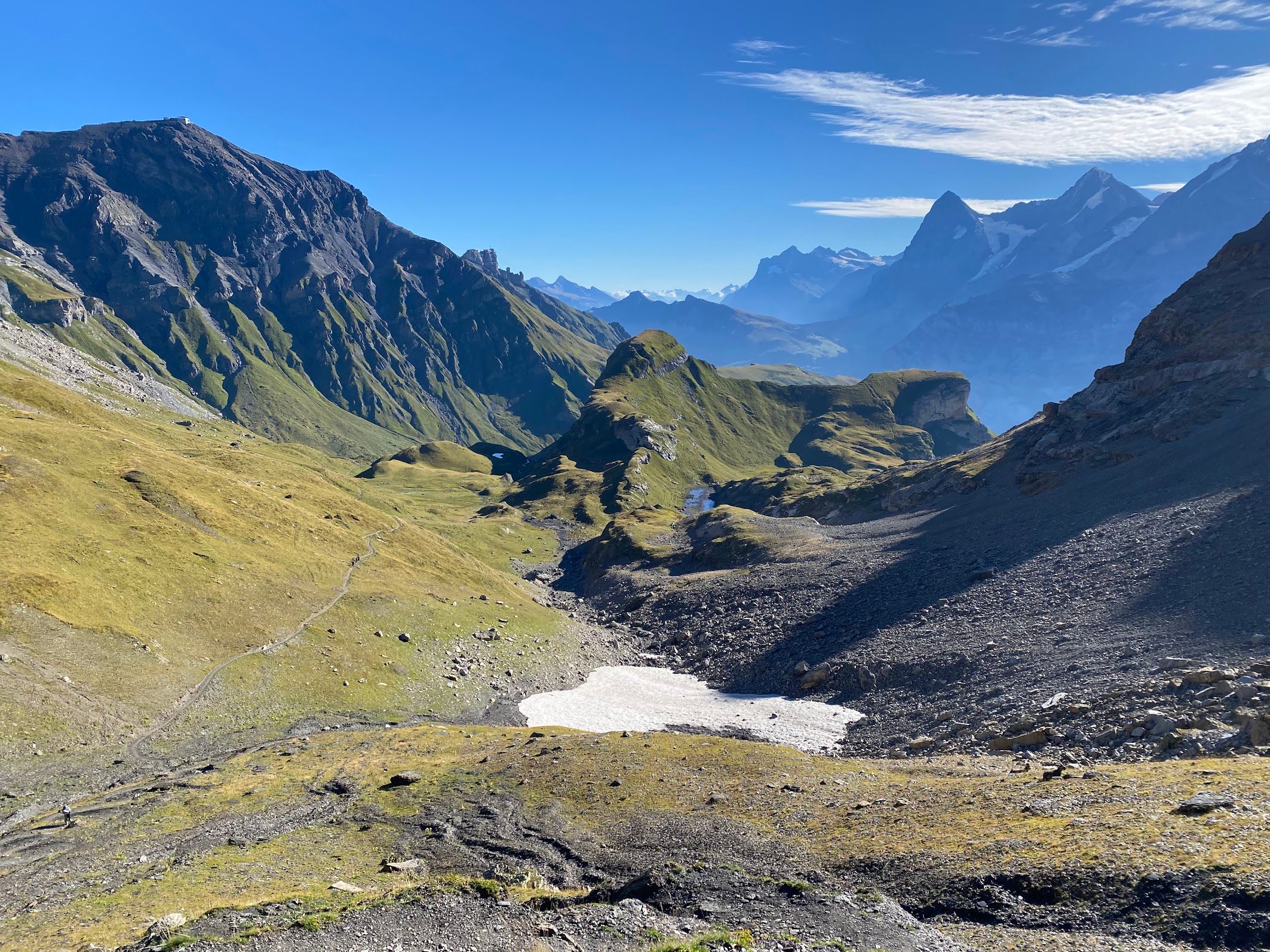
The traverse towards Rotstockhütte
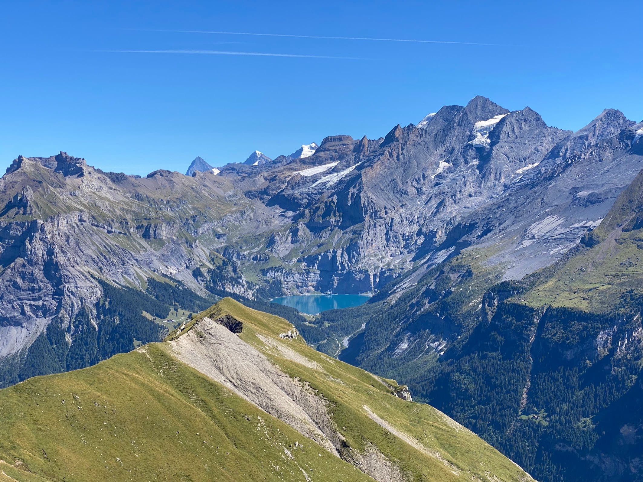
The traverse towards Rotstockhütte, after leaving the hustle and bustle of Mürren and crossing the shoulder of Bryndli, offers incredible views of the mountain wall of the Bernese Oberland to your left, including the Eiger, Mönch and Jungfrau.
The descent from Hohtürli towards Oeschinensee
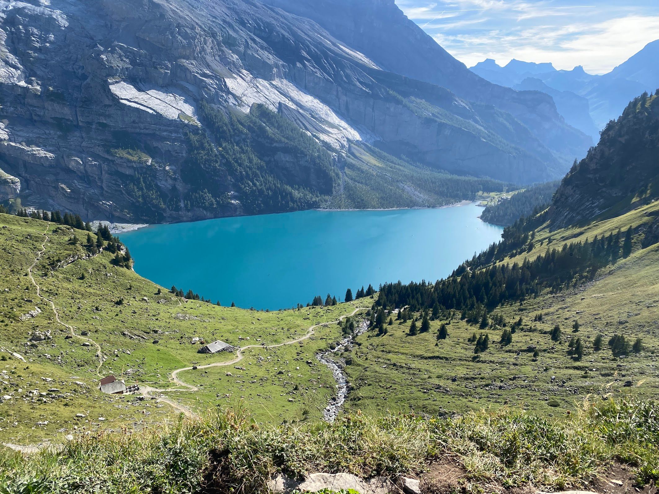
The descent from Hohtürli towards Oeschinensee is another spectacular section. The lake’s blue colour is stunning. It’s a popular spot, so be prepared to meet plenty of people by the water, or aim to arrive early or late in the day. You can take a dip, but it’s cold.