.jpg-e57bcd5fcc53a68b6d1687eaa0feac85.jpg&w=3840&q=95)
Description
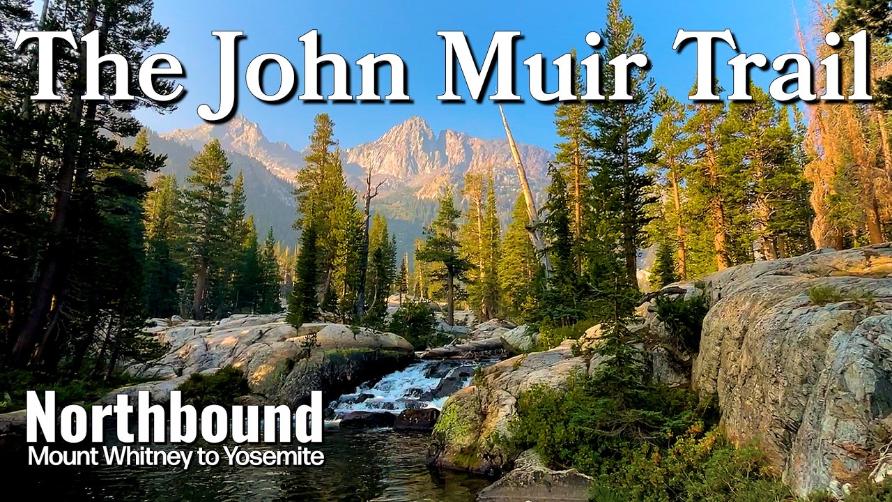
The John Muir Trail is a spectacular 340 km (211 mile) trail through California’s Sierra Nevada, often considered among the most scenic treks in the world. It runs from Yosemite Valley in the north to the summit of Mount Whitney (the highest point in the contiguous USA at 4,418 m) in the south.
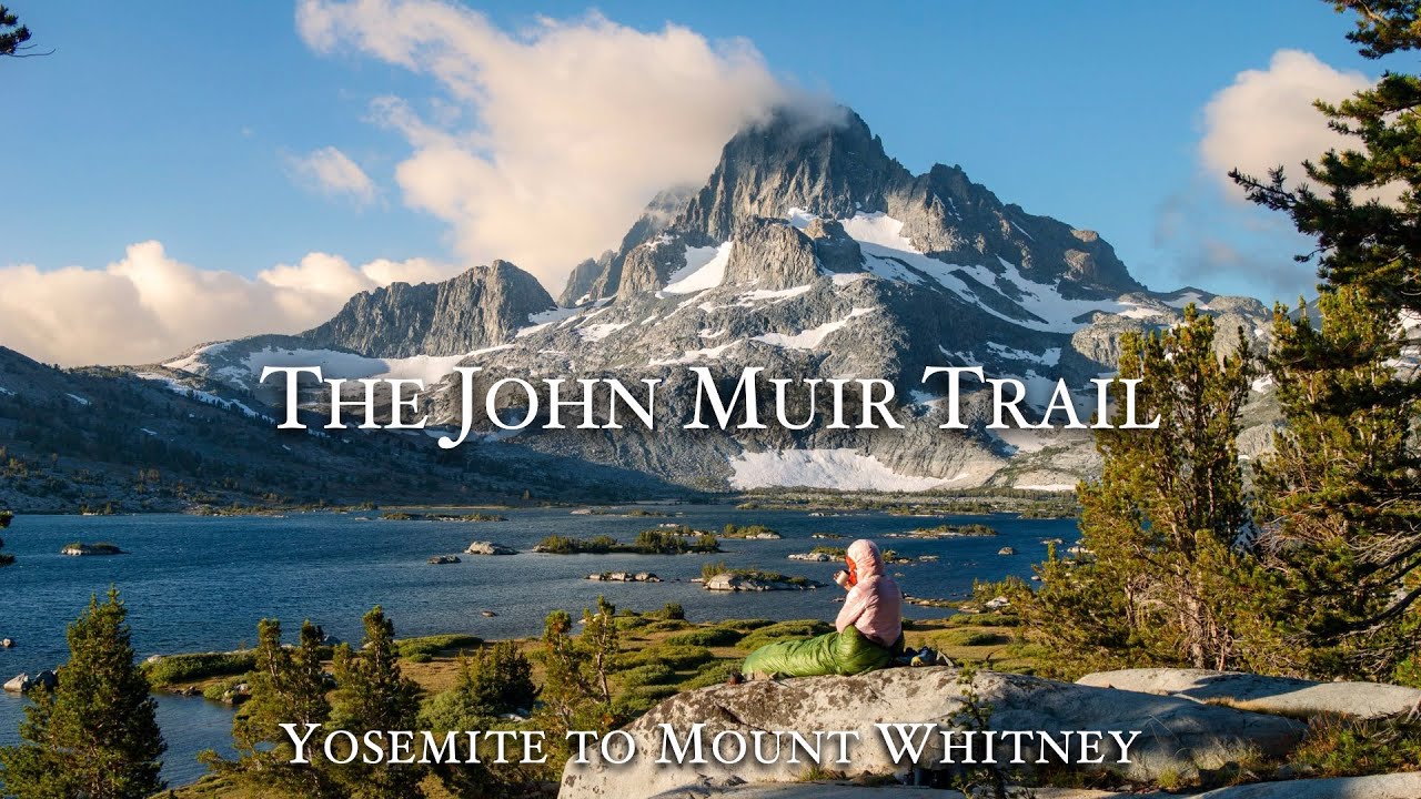
For most of its length, the JMT overlaps the Pacific Crest Trail, traversing pristine wilderness in Yosemite, Kings Canyon, and Sequoia National Parks, plus the John Muir and Ansel Adams Wildernesses. The route stays in the high country, crossing numerous passes around 3,400–4,000 m (11,000–13,000 ft) – such as Donohue Pass, Muir Pass, and Forester Pass (4,009 m, the highest point on the JMT). Hikers are treated to constant alpine beauty: granite peaks and spires, shimmering glacial lakes, wildflower-filled meadows, and lush valleys. Notable highlights include views of Half Dome (at the start), the turquoise Evolution Lake below Muir Pass, the dramatic Kings Canyon backcountry (often called “the Range of Light”), and a thrilling finish on Mount Whitney’s summit at sunrise. Most people hike southbound, taking about 3 weeks.
Camping is in wilderness zones every night (no shelters). The trail is well-maintained but remote – no settlements on route except resupply at Muir Trail Ranch or Vermilion Valley Resort. With about 14 major passes, elevation gain is significant (~14,000+ m). The JMT requires a permit (competitive out of Yosemite) and proper planning for high altitude and weather. For those who complete it, the John Muir Trail offers an unmatched immersion in the heart of the High Sierra, following in the footsteps of naturalist John Muir through what he called “the most grand of all special temples of Nature.”
Route
Loading the exact GPS route…
Elevation
Loading elevation chart...
Getting There & Back
Permit required – typically obtained via Yosemite NP (for NOBO or SOBO entry) or Inyo NF (Whitney entry). Daily quotas make permits competitive. The trail traditionally begins at Happy Isles, Yosemite Valley (accessible by road) and ends at Whitney Portal (trailhead above Lone Pine). Many arrange transportation or shuttles to start/end points (Whitney Portal to Lone Pine then LAX via bus). Bear canisters are required for food storage in the Sierra. Hikers plan 1–2 resupplies: commonly mailing a food package to Muir Trail Ranch or stopping at VVR. Weather is generally stable, but afternoon thunderstorms and occasional snow flurries can occur. Altitude acclimatization is important – many spend a night in Yosemite high country before starting.
Accommodation
Wilderness camping only – no permanent shelters. Hikers carry tents and camp in designated backcountry sites or wherever allowed (per permit). Two popular resupply stopovers offer lodging off-trail: Vermilion Valley Resort (VVR) at Lake Edison (accessible by ferry) and Muir Trail Ranch (MTR) – both provide cabins/tents, meals, and bucket resupply services. Some hikers detour to Independence or Bishop via Kearsarge Pass for hostel/hotel halfway.