.jpg-6926d92549fbabf5ee3d3c7130e58f65.jpg&w=3840&q=95)
Description
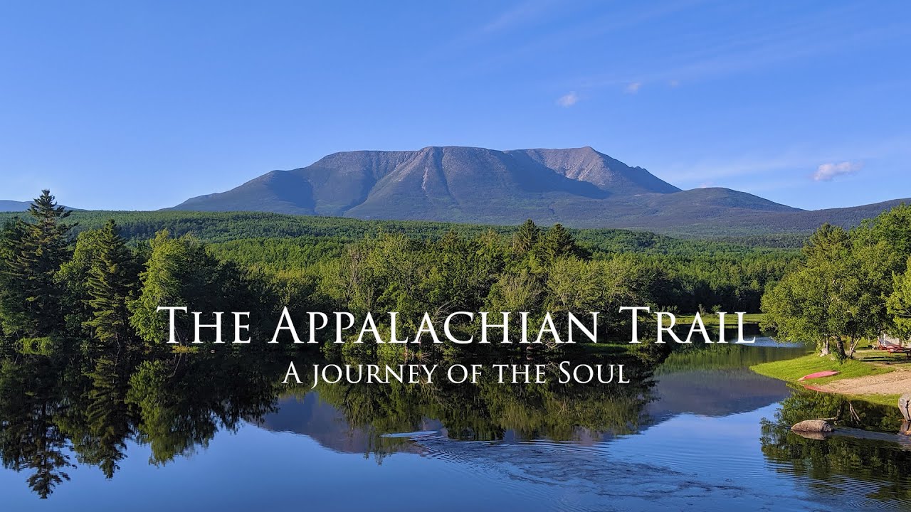
The Appalachian Trail is a legendary long-distance footpath that runs about 3500 km (2,190 miles) along the Appalachian Mountains from Georgia to Maine. Traditionally thru-hiked in 5–7 months, the AT is often called “the green tunnel” – a journey through continuous forests, with frequent ascents/descents of ridges and mountains. The trail’s southern terminus is at Springer Mountain, Georgia and its northern terminus atop Mount Katahdin, Maine. In between, it winds through 14 states. Hikers experience the lush Great Smoky Mountains, pastoral Shenandoah valleys, rocky ridgetops of Pennsylvania (the “Rocksylvania” section), the towering White Mountains of New Hampshire (with the AT’s steeper, above-treeline challenges on Mt. Washington), and the dense forests and lakes of Maine’s 100-Mile Wilderness. The AT is marked with white blazes and is famously well-supported – about 250 backcountry shelters spaced a day’s hike apart, plus numerous road crossings to resupply in quaint trail towns.
While its elevations (max ~2,025 m on Clingmans Dome) are lower than Western trails, the AT’s cumulative gain is immense (~150–160 km of vertical climb) and the footing often rough. Thru-hikers contend with humid summers, rain, mud, and swarms of insects – but also camaraderie with fellow hikers and “trail magic” from strangers. As the first completed National Scenic Trail (1968), the AT holds a revered place in hiking culture, offering a journey not just through diverse ecosystems but also through American history and community.
Route
Loading the exact GPS route…
Elevation
Loading elevation chart...
Getting There & Back
No permits for entire trail, but some parks (Smoky Mountains, Shenandoah) require registrations or small fees. Most thru-hikers go northbound (NOBO): start Springer Mtn, GA -> end Katahdin, ME. Resupply roughly every 3–7 days by walking or hitching into towns. Well-known tough sections: Mahoosuc Notch (Maine, a boulder scramble) and White Mountains (weather exposure). The AT is well-marked and well-traveled; a thru-hiker will meet many others. Reliable water is generally available every few miles (springs/streams). A culture of trail angels provides occasional food, rides, or water caches. At the northern end, summit of Katahdin requires fair weather and then hikers descend to Millinocket, ME for exit.
Accommodation
Over 250 trail shelters (three-sided lean-tos) for thru-hikers, spaced 5–15 miles apart. Many camp in tents/hammocks near shelters or designated sites. Frequent trail towns offer hostels, motels, and churches for overnight: e.g., Hot Springs, NC; Damascus, VA; Harpers Ferry, WV; Hanover, NH; Monson, ME. “Hiker hostels” are a hallmark of the AT (e.g., Mountain Harbour Hostel in TN, Shaw’s in Monson).