Description
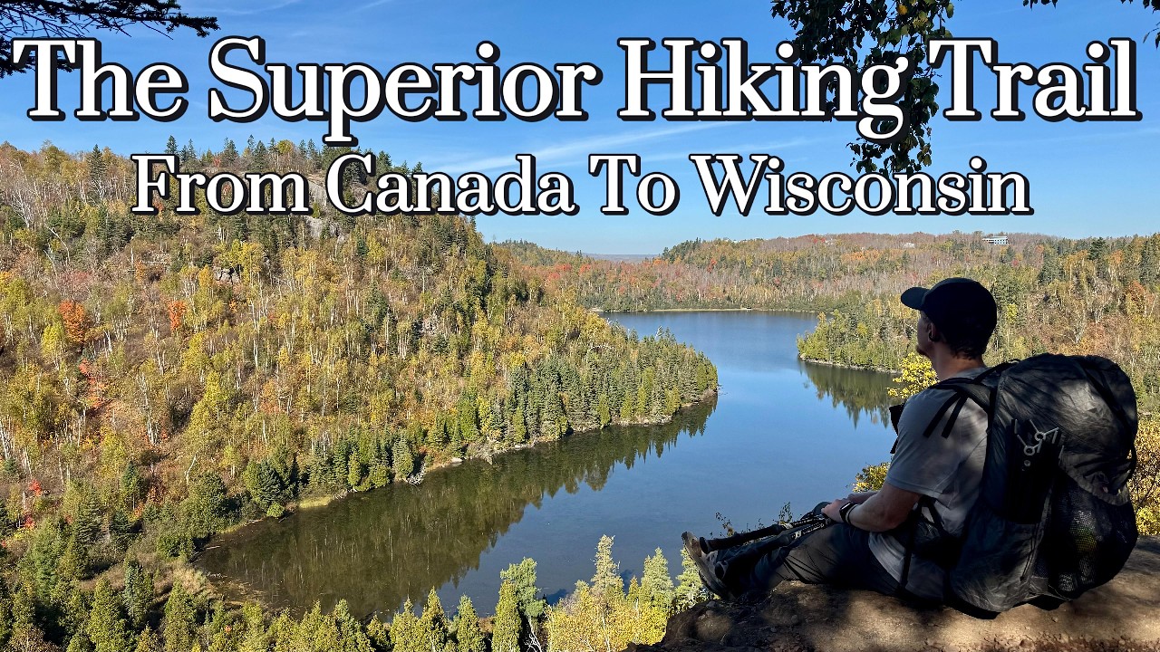
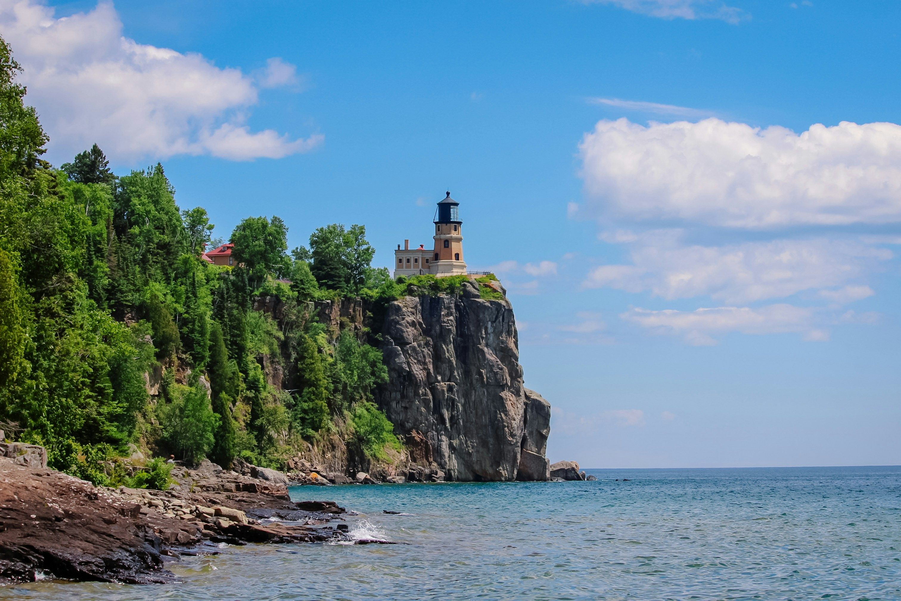
The Superior Hiking Trail is a 500 km long footpath following the rocky ridgeline above the north shore of Lake Superior in Minnesota. Extending from Duluth, MN to the Canadian border, the SHT showcases boreal forests, scenic river gorges, and frequent panoramic overlooks of Lake Superior, the largest freshwater lake in the world. The trail’s tread is well-maintained but often rooty and undulating, with numerous short climbs up to ridges and down into creek valleys (cumulative elevation gain ~10,000+ m). Hikers pass waterfalls (like the high falls of the Lester, Gooseberry, and Baptism Rivers), mossy cedar and spruce woods, and exposed bluffs with sweeping vistas. Notable are the sections on Carlton Peak, Bean and Bear Lakes (twin azure lakes viewed from a cliff), and the Palisade Head/Shovel Point area with sheer rock cliffs above the lake.
The southern terminus is in Jay Cooke State Park by Duluth, and the northern terminus connects to Ontario’s Border Route Trail near the Pigeon River. The SHT is typically hiked in 4–6 weeks for a thru-hike, though many do shorter backpack trips as access is easy. There are 94 free backcountry campsites spaced every 8–10 km, making logistics straightforward. Spring can be muddy; summer brings mosquitoes and thunderstorms; autumn (September) is a favorite time due to cooler weather and brilliant foliage. The Superior Hiking Trail offers a blend of wilderness and accessibility, with frequent trailheads to towns like Two Harbors or Silver Bay. It’s beloved for its continuous views of the ever-present lake and the serenity of Minnesota’s Northwoods.
Route
Loading the exact GPS route…
Elevation
Loading elevation chart...
Getting There & Back
No permit required. Many road trailheads along Highway 61 and other roads make section-hiking popular. Thru-hikers often arrange shuttles or leave cars at ends. The southern terminus (Jay Cooke State Park near Duluth) and northern terminus (near Grand Portage at 270 Overlook) are accessible by road. Resupply is easy – several small towns along or near the trail (Two Harbors, Silver Bay, Tofte, Lutsen, Grand Marais) allow hitch or short walk to stores. Weather off Lake Superior can change rapidly; be prepared for rain and wind. Trail is well-marked with blue blazes.
Accommodation
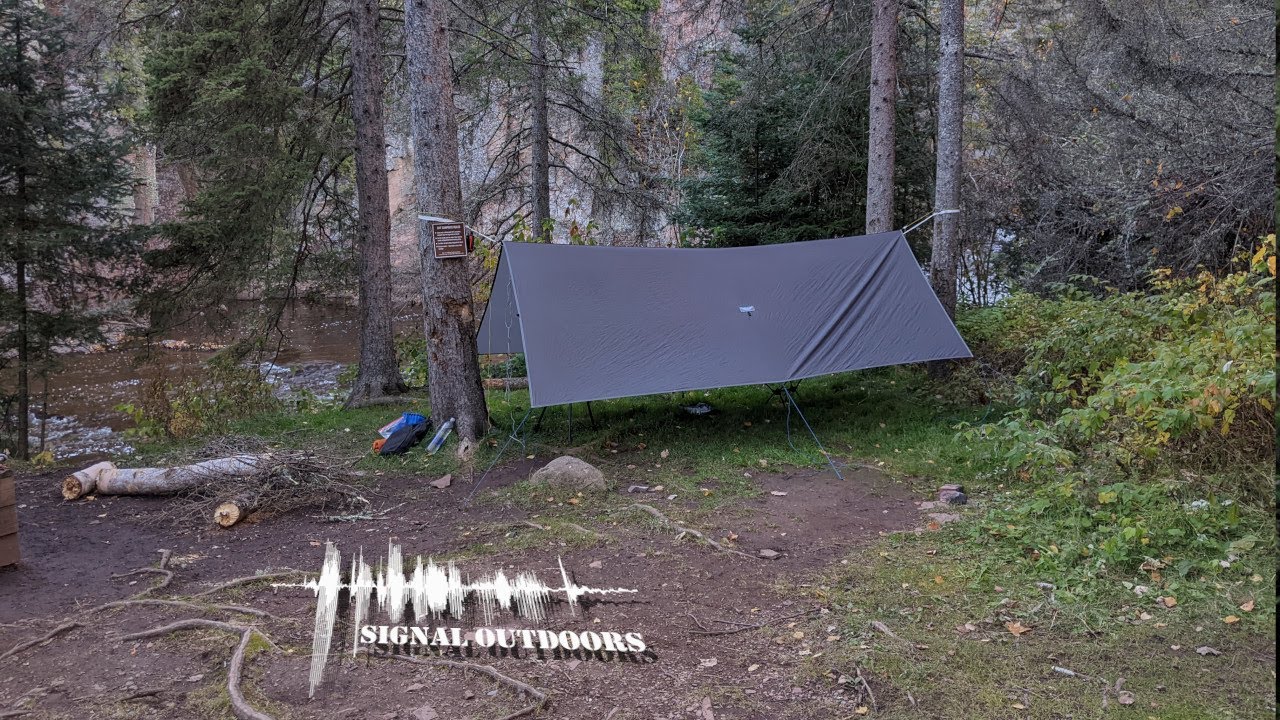
Backcountry campsites every 5–8 miles, first-come-first-served (each with fire ring, privy). No fee or permit needed for camping. Near towns and state parks, some hikers detour for hostels/hotels (e.g., in Two Harbors, Silver Bay, Lutsen). Water sources (streams or lake) near most camps, but filtering recommended.
.jpg-78ffaf646bbbb1dd88caa8c2ab513143.jpg)