.jpg-1ba04201594b24fa0633cae20156bee6.jpg&w=3840&q=95)
Description
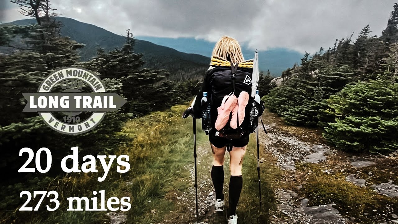
The Long Trail in Vermont is the oldest long-distance hiking trail in the United States, extending 273 miles (438 km) along the spine of the Green Mountains. Completed in 1930, it served as inspiration for the Appalachian Trail. The LT runs from the Massachusetts–Vermont border north to the Canadian border, roughly following Vermont’s main north–south mountain ridge. The southern 100 miles coincide with the Appalachian Trail (they share tread until the AT diverges east). The trail leads hikers up virtually every major summit in Vermont – including Stratton Mountain (where the idea for the AT was born), Killington Peak, Mount Abraham, Mount Mansfield (Vermont’s highest at 1,339 m, with a rocky alpine tundra summit).
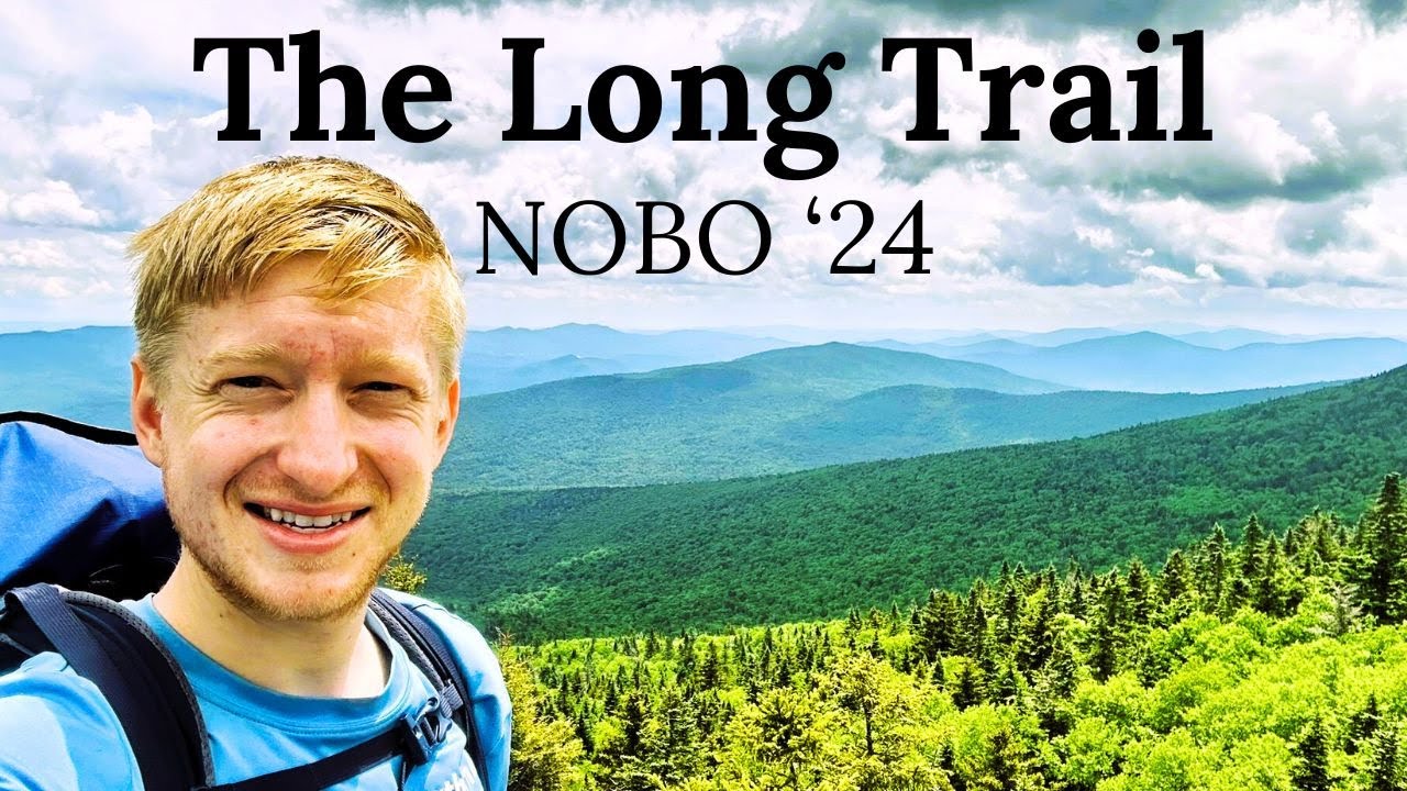
The Long Trail is known for its rugged nature: despite relatively low elevations, it has steep, muddy, and rooty sections that can be surprisingly challenging. Hikers encounter dense forests, cascading streams, and several fire towers and shelters with beautiful vistas of the Green Mountains and, on clear days, the Adirondacks and White Mountains. The trail infrastructure includes over 70 backcountry shelters and campsites. A typical thru-hike takes 3–4 weeks. Hikers often report that the northernmost sections are the toughest, with short, sharp climbs (often using ladders or handholds on rock) and fewer fellow hikers. The Long Trail offers a condensed Appalachian-style experience, rich in history and natural beauty, as it traverses Vermont end-to-end.
Route
Loading the exact GPS route…
Elevation
Loading elevation chart...
Getting There & Back
Southern Terminus at Clarksburg, MA / VT border (connects from AT). Northern Terminus at Journey’s End near North Troy, VT at the Canadian border (hikers then hike ~1 mi out on Journey’s End side trail to a road). No permit needed, but hikers often register at GMC. The trail is well-marked (white blazes) and maps/guidebook by GMC are recommended. Navigation is straightforward; biggest challenges are weather and mud. Many thru-hikers start in June/July to finish by mid-October (before snow). The mid-section has the Longest river ford (Winooski River – now bypassed by a bridge since 2015).
Accommodation
~70 shelters/cabins maintained by the Green Mountain Club (first-come, first-served; some have caretakers and small fees in season). Tenting is allowed near most shelters or at designated sites. A few inns or lodges are accessible at road crossings (e.g., Inn at Long Trail near Killington). Resupply towns are available every few days (Manchester Center, Rutland/Killington, Waitsfield, Johnson, etc.).